
Clear the first 5 feet (Zone 0)
Remove dead plants, leaves, bark mulch, and stored combustibles next to the home. Zone 0 is the area closest to the structure.
How to start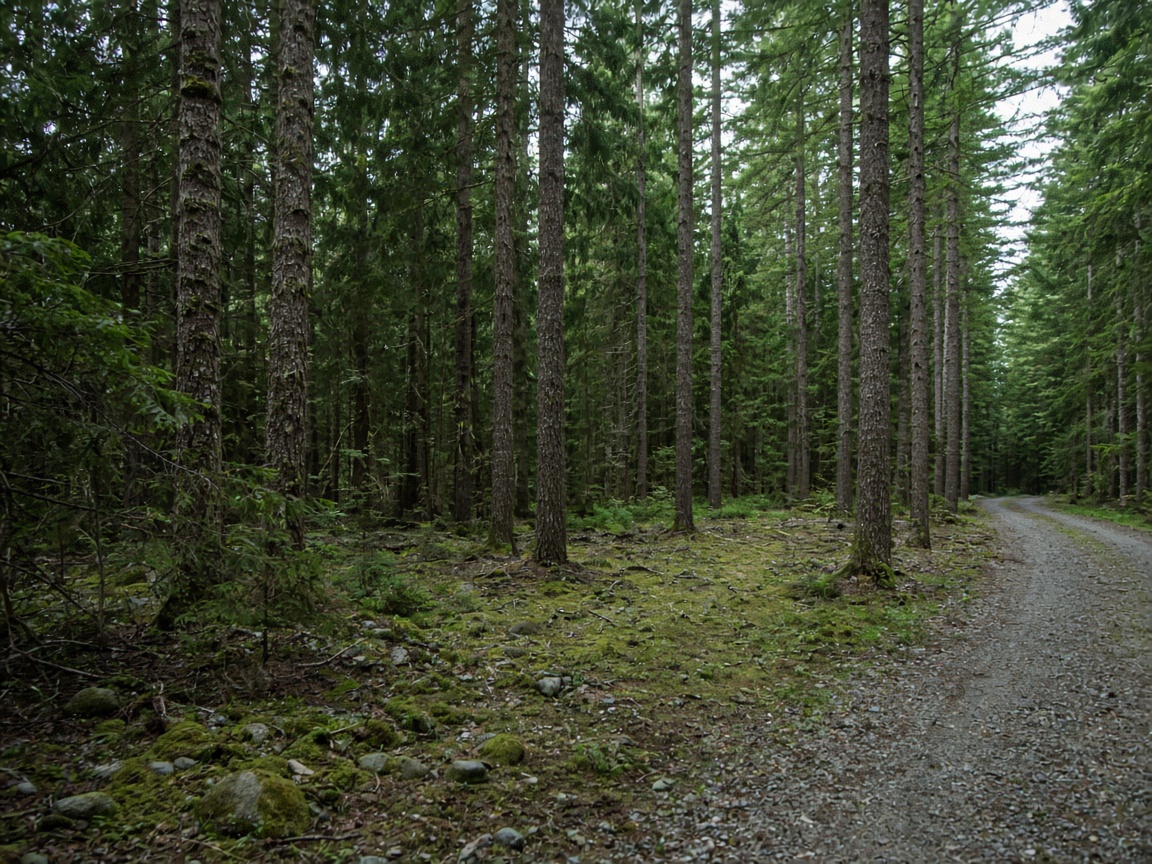
Firewise USA® community
A complete demo of a Firewise neighborhood landing page
Recognized since 2019 · About 186 homes
Send these to your insurance agent or company. Discounts depend on your insurer and are not guaranteed, and rules vary by state.
Tip: show that your address is inside the Firewise boundary using the Firewise map viewer.
Firewise USA® is a national program run by the NFPA where neighbors reduce wildfire risk together. It focuses on simple yearly actions around homes and shared spaces.
Sample note: Cedar Hollow sits where pine forest meets neighborhood streets, so embers and dry fuels are part of everyday planning.
Recognition means our community keeps up yearly activity and reports it to stay in good standing. We renew every year around October.
Firewise USA® is a national NFPA program where neighbors reduce wildfire risk together through yearly action — defensible space, home hardening, and community planning. This Cedar Hollow page is a SAMPLE showcase. Replace the story, maps, and certificate with your community’s real materials before you share a live link.
Firewise USA® resourcesSample · Cedar Hollow is a fictional Firewise USA® neighborhood used to demonstrate firewisepages.com. On this page neighbors can download insurance proof, study evacuation routes, watch preparedness videos, open Firewise resources, and message leaders — all on one calm mobile page.
Remove dead plants, leaves, bark mulch, and stored combustibles next to the home. Zone 0 is the area closest to the structure.
How to startUse screened vents, clear gutters and the roof, and choose ember-resistant details where you can. Home hardening lowers ignition risk from wind-blown embers.
How to hardenReporting household work is how we keep our Firewise recognition each year.
Report hoursDefensible space distances and rules differ by state and local code. Check your local fire district for specifics.
Primary: Cedar Ridge Rd east to County Road 12
Alternate: Mill Creek Trail north to the school lot
Gathering point: Cedar Hollow Elementary parking lot
Download evacuation map (PDF)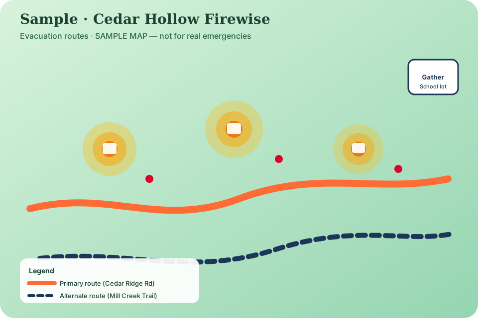 Open full screen
Immediate, intermediate, and extended home ignition zones help neighbors prioritize the work closest to each house.
Need the recognition boundary for insurance? Download the perimeter map PDF.
Local information only. Follow official alerts and call 911 in an emergency.
Preparedness tips and neighbor stories from the community.
Write about insurance certificates, volunteering, hazards, or evacuation questions. Thanks for trying the demo. A leader will reply within a few days.
For emergencies call 911. This form is not monitored in real time.